In-Sighting
‘In-Sighting` can be interpreted notionally as - exploring research.
Though a practising architect, Sean understands that he is not a researcher in the normative academic or institutional way and therefore uses ‘In-Sighting' as a way of acknowledging those projects, events and investigations, which emerged during the course of his research experience and which as a result, contributed to steering or initiating paths of exploration.
In presenting these in conjunction with his introspections on the context in which he was operating, Sean attempts to document a discovered curiosity related to options in research practice, pertaining to its machinations, resonance, ethics and aesthetics.
About Korjaal-ing Maps
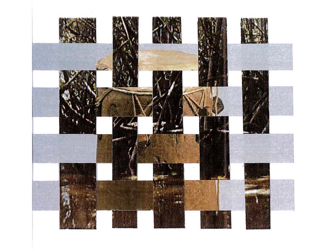
This series of images was produced at impromptu reflective moments during the research experience, to stimulate a level of personal transportation into the environment of the research.
They developed as simple hand drawn mappings of Suriname’s rivers onto photographs of a previous journey across the Marowijne, to more layered collages of the aforementioned, which included a 1905 map of the Tapanahoni.
-
Map of Tapanahoni - from ‘Report of the Tapanahoni Expedition’ by A. Franssen Herderschee - published by Leiden: Brill 1905


